Drone Photography
Aerial 360° Photography, Aerial Video, Aerial Inspection

Drone Photography
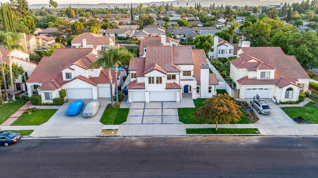
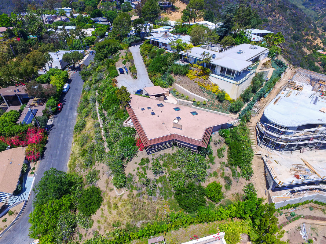
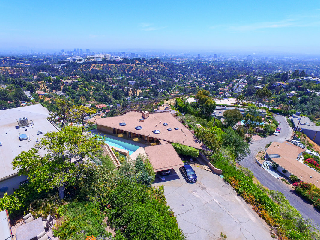
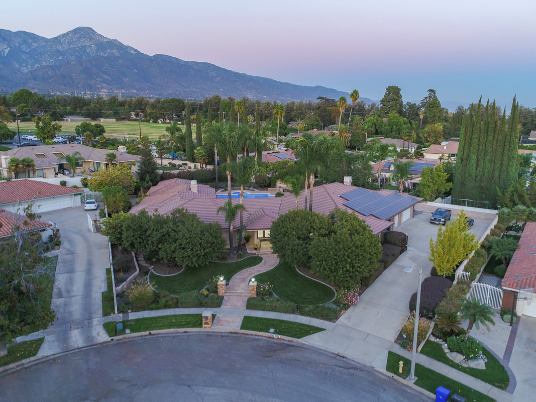
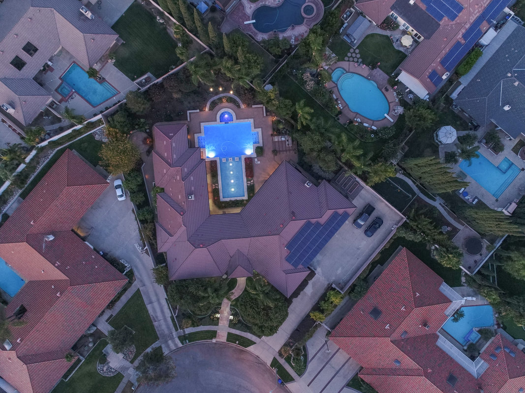
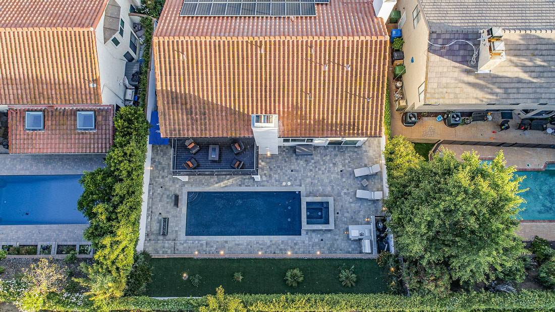
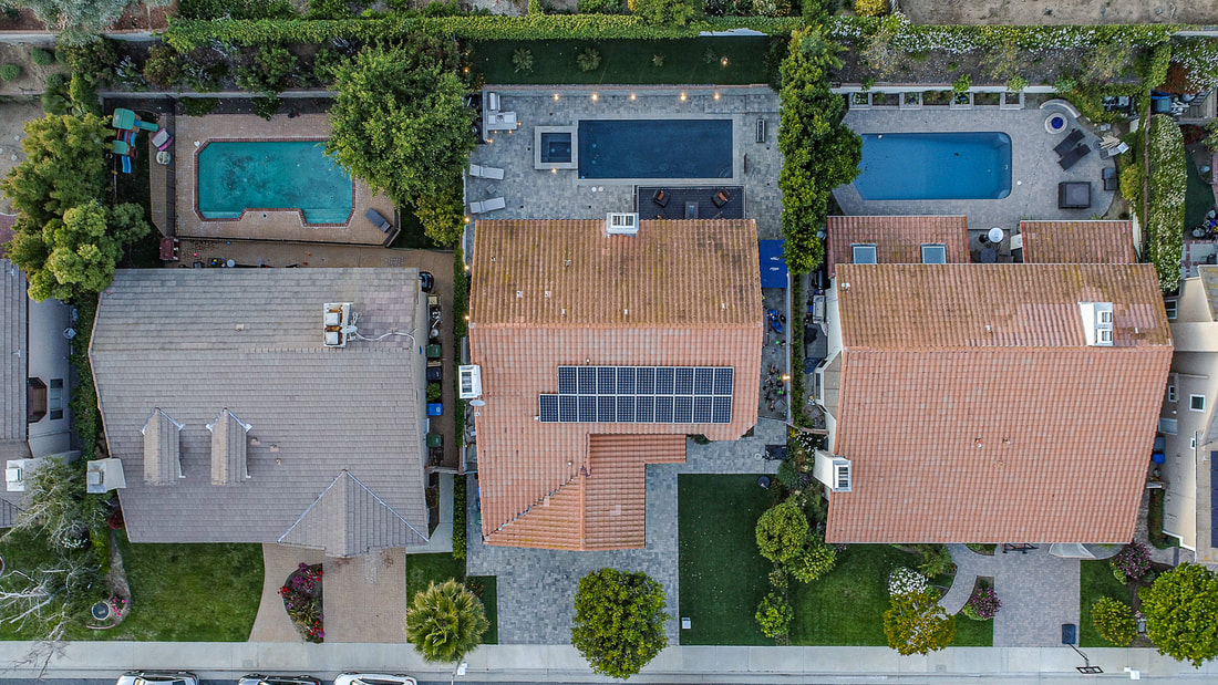
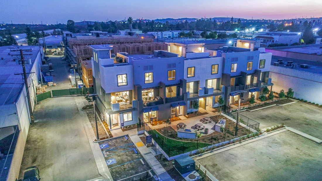
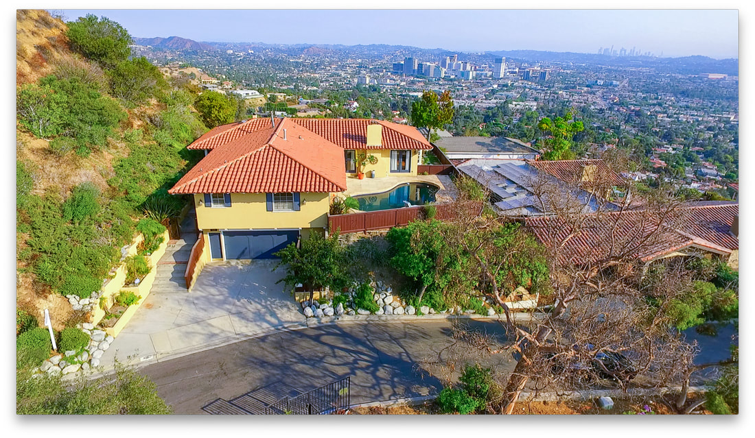
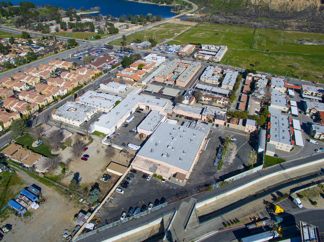
Drone photography is like having a bird's eye view of your property listing. It uses drones also technically know as sUAS or small unmanned aerial system with cameras to capture stunning pictures and videos from above. These drones can reach places where traditional photography methods can't go, giving us unique perspectives.
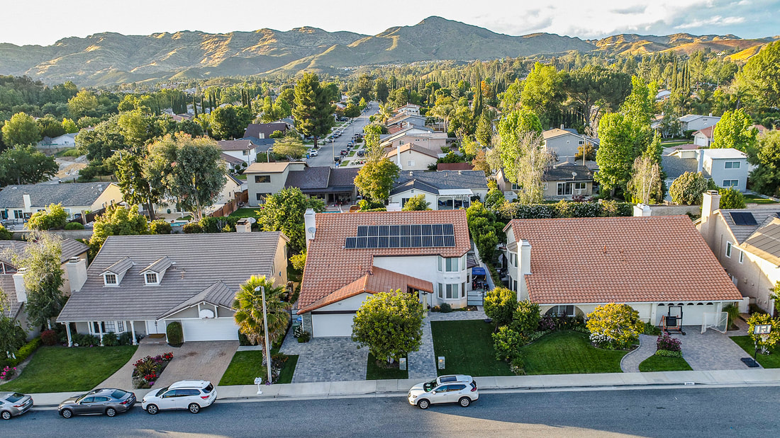
One big advantage of drone photography is its ability to capture landscapes and cityscapes from high above. You can see forests, mountains, rivers, and even entire cities like never before. It's like having a magic carpet ride through the sky!
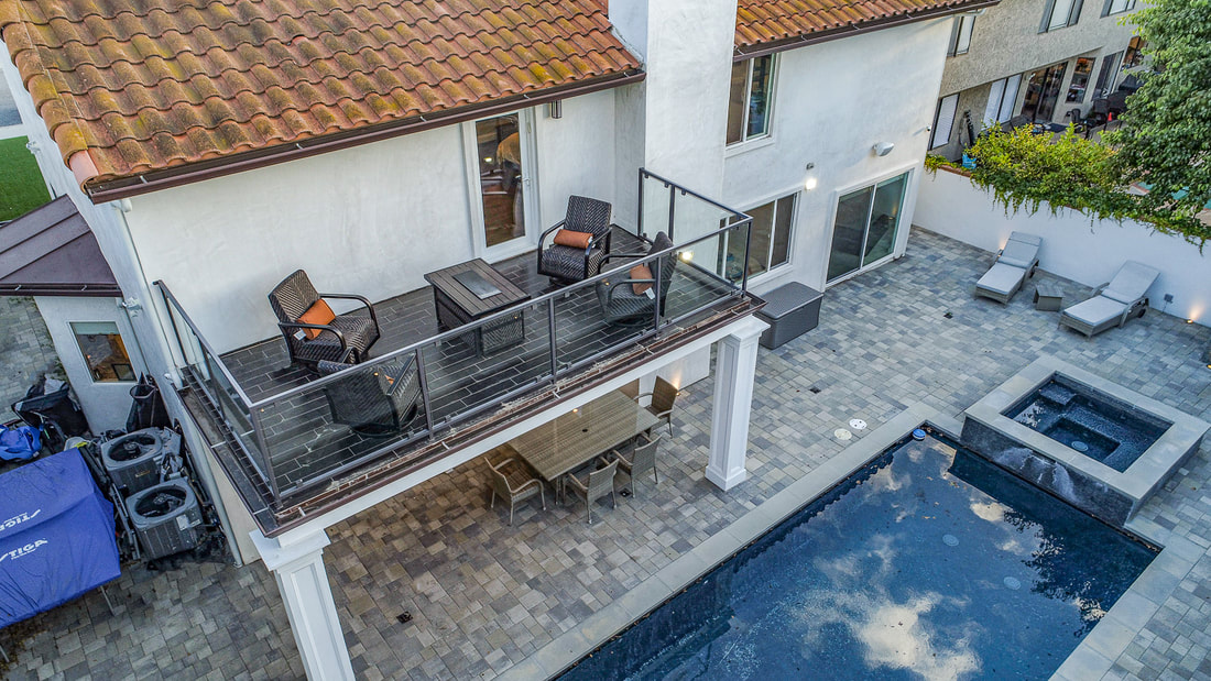
Drones are also great for getting close-up shots of things that are hard to reach. Want to see the top of a skyscraper? No problem for a drone! They can fly up close to capture detailed shots of buildings, bridges, and other structures.
But drone photography isn't just about the big picture. It can also focus on the little things, like people enjoying a picnic in the park or animals playing in the wild. Drones can get up close without disturbing the scene, giving us a glimpse into moments we might otherwise miss.
Safety is important when it comes to drone photography. Pilots need to follow the FAA rules and regulations to make sure they're flying safely and responsibly. This means avoiding crowded areas, staying away from airports, and always keeping the drone within sight.
Overall, drone photography opens up a whole new world of possibilities for capturing beautiful moments from above. Whether it's exploring nature, admiring architecture, or simply seeing the world from a different perspective, drone photography lets us soar to new heights.
One big advantage of drone photography is its ability to capture landscapes and cityscapes from high above. You can see forests, mountains, rivers, and even entire cities like never before. It's like having a magic carpet ride through the sky!
Drones are also great for getting close-up shots of things that are hard to reach. Want to see the top of a skyscraper? No problem for a drone! They can fly up close to capture detailed shots of buildings, bridges, and other structures.
But drone photography isn't just about the big picture. It can also focus on the little things, like people enjoying a picnic in the park or animals playing in the wild. Drones can get up close without disturbing the scene, giving us a glimpse into moments we might otherwise miss.
Safety is important when it comes to drone photography. Pilots need to follow the FAA rules and regulations to make sure they're flying safely and responsibly. This means avoiding crowded areas, staying away from airports, and always keeping the drone within sight.
Overall, drone photography opens up a whole new world of possibilities for capturing beautiful moments from above. Whether it's exploring nature, admiring architecture, or simply seeing the world from a different perspective, drone photography lets us soar to new heights.
Aerial 360° Photography and
Aerial Data Collection
Aerial 360° Photography and Aerial Data Collection
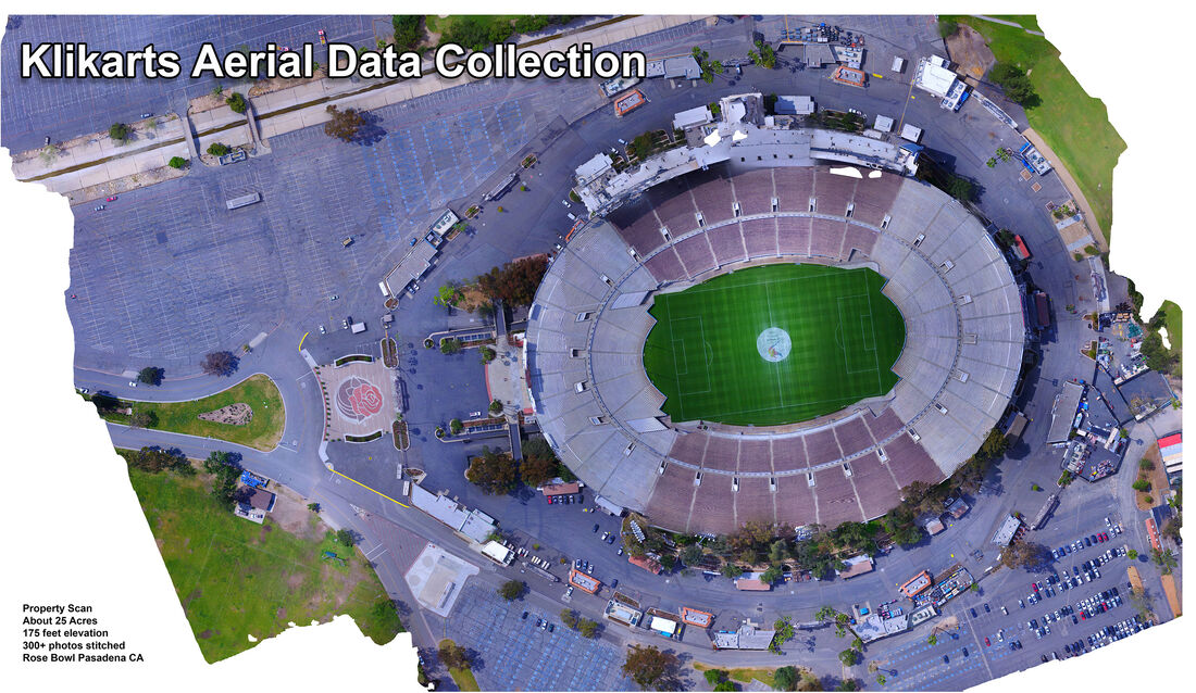
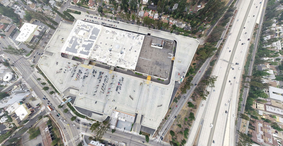
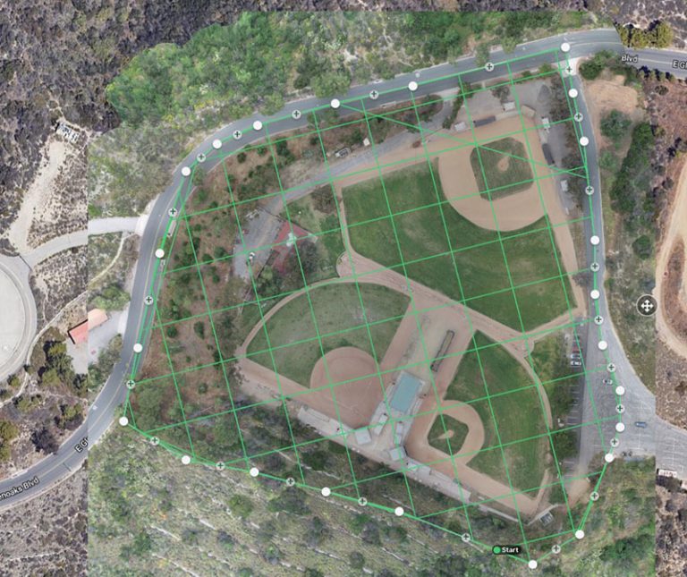
Aerial 360° Photography and Aerial Data Collection use special cameras mounted on drones to capture images and information from all angles, providing a complete view of an area. This technology helps to visualize a property in its surroundings, and enable the picture data to be analyzed and measured within .1% accuracy.
With Aerial 360° Photography, you can see a place from every direction. It's like standing in the middle of a scene and looking around in all directions at once. This is great for showing off real estate properties, tourist attractions, or event venues. People can get a full sense of what a place looks like before they visit.
Aerial Data Collection goes beyond just taking pictures. It uses sensors and cameras to gather information about things like temperature, humidity, and even air quality. This data can be useful for things like environmental monitoring, agriculture, or urban planning.
Klikarts can help with both Aerial 360° Photography and Aerial Data Collection. They have skilled pilots who can fly drones safely and capture high-quality images and data. They also have advanced technology to process and analyze the data collected, providing valuable insights for their clients.
For example, if you're a real estate developer, Klikarts can create stunning 360° aerial images of your properties, giving potential buyers a comprehensive view of what you have to offer. Or if you're a farmer, they can use aerial data collection to monitor crop health and optimize irrigation schedules.
No matter the need, Klikarts can tailor their services to help businesses and organizations harness the power of aerial photography and data collection. With their expertise and cutting-edge technology, they can take your projects to new heights.